Maps & Properties
This page provides maps and property information related to the proposed Kingston Technology Hub, including the project area, nearby roads, surrounding properties, and other locations that may be affect by the development.
Project Location
The proposed Kingston Technology Hub site is located in along Highway 293 between Law Road and Wellons Road, a few miles from the City of Kingston. Maps on this page will show the proposed development area in relation to nearby roads, properties, neighborhoods, and the City of Kingston.
Regional Location Map
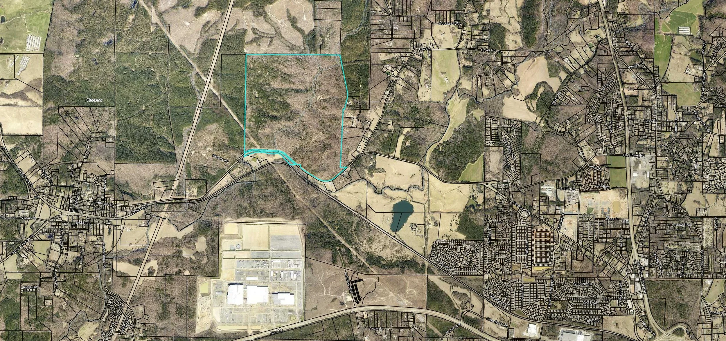
Project Area Map
Proposed project area shown in relation to surrounding roads, nearby development, and adjacent properties.
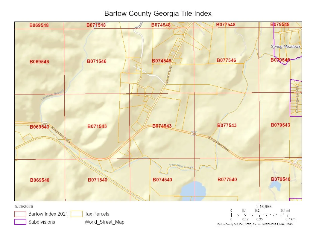
Nearby Properties & Roads
The proposed development area is surrounded by rural roads, homes, farms and other properties that could experience changes in traffic, noise, views, drainage, and overall land use. This section will identify key nearby roads and properties and show how they relate to the proposed site.
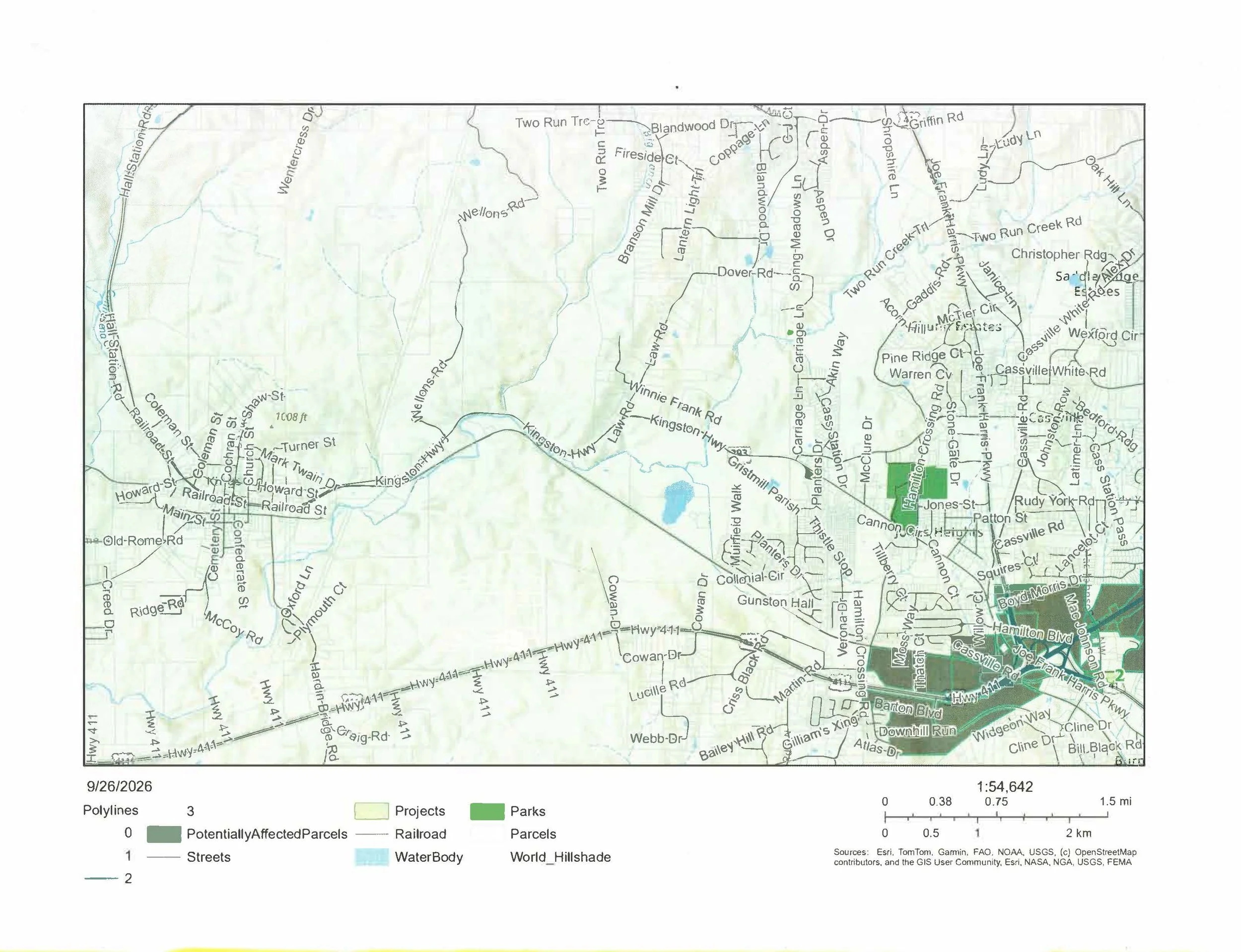
Environmental Features Map
This map shows nearby streams, wooded areas, drainage features, and places such as Two Run Creek.